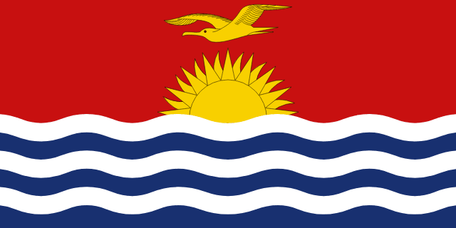
Kiribati
Kiribati, officially the Republic of Kiribati, is an archipelagic country spanning the Micronesia and Polynesia sub-regions of Oceania in the central Pacific Ocean. The state comprises 32 atolls and other islands and one remote raised coral island, Banaba. Its total land area is 811 km2 (313 sq mi) dispersed over 3,441,810 km2 (1,328,890 sq mi) of ocean. The spread of the country's islands, from Banaba in the west to Kiritimati in the east straddles the equator and the 180th meridian. The International Date Line goes around Kiribati and swings far to the east, almost reaching 150°W. This brings Kiribati's easternmost islands, the southern Line Islands south of Hawaii, into the same day as the Gilbert Islands and places them in the most advanced time zone on Earth: UTC+14.
Read Kiribati on Wikipedia · Recent news from Kiribati
You have not been asked about Kiribati yet.
Languages
Share of the population that speaks each. Click one to see every country that speaks it.
What it sells, and to whom
Every line is a thread: click a commodity or a partner to see who else trades in it.
Exports
Imports
Trades with
Industries
Farms and fisheries
- coconuts
- bananas
- vegetables
- taro
- tropical fruits
- pork
Largest cities
| Tarawa | 40,311 |
Money, belief and alliances
Belongs to
Climate and geography
tropical; marine, hot and humid, moderated by trade winds
Climate zone
Highest point
Northern hemisphere.
In charge right now

Figures from its history


