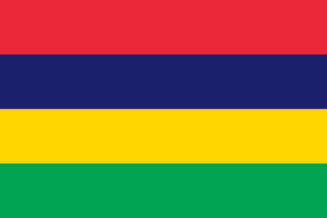
Mauritius
Mauritius, officially the Republic of Mauritius, is an island country in the Indian Ocean, located about 1,100 nautical miles off the southeastern coast of Africa, east of Madagascar. It includes the main island, as well as Rodrigues, Agaléga, and St. Brandon. The islands of Mauritius and Rodrigues, along with nearby Réunion, are part of the Mascarene Islands. The main island of Mauritius, where the population is concentrated, hosts the capital and largest city, Port Louis. The country spans 2,040 square kilometres (790 sq mi) and has an exclusive economic zone covering approximately 580,000 square nautical miles.
Read Mauritius on Wikipedia · Recent news from Mauritius
You have not been asked about Mauritius yet.
Languages
Share of the population that speaks each. Click one to see every country that speaks it.
What it sells, and to whom
Every line is a thread: click a commodity or a partner to see who else trades in it.
Exports
Imports
Trades with
Natural resources
Industries
Farms and fisheries
- sugarcane
- chicken
- pumpkins/squash
- tomatoes
- eggs
- potatoes
Largest cities
| Port Louis capital | 155,226 |
| Vacoas | 115,289 |
| Beau Bassin-Rose Hill | 111,355 |
| Curepipe | 78,618 |
| Quatre Bornes | 77,308 |
Money, belief and alliances
Money
Belongs to
Climate and geography
tropical, modified by southeast trade winds; warm, dry winter (May to November); hot, wet, humid summer (November to May)
Climate zone
Highest point
Landmarks and landscapes
Southern hemisphere.
In charge right now


Figures from its history


