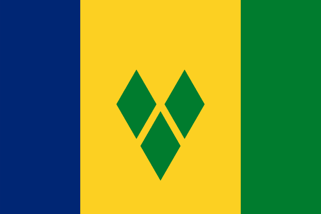
Saint Vincent and the Grenadines
Saint Vincent and the Grenadines, sometimes known simply as Saint Vincent, is an archipelagic country in the eastern Caribbean. It is located in the southeast Windward Islands of the Lesser Antilles, which lie in the West Indies, at the southern end of the eastern border between the Caribbean Sea and the Atlantic Ocean. To the north lies Saint Lucia, to the east is Barbados and Grenada lies to the south.
Read Saint Vincent and the Grenadines on Wikipedia · Recent news from Saint Vincent and the Grenadines
You have not been asked about Saint Vincent and the Grenadines yet.
Languages
Share of the population that speaks each. Click one to see every country that speaks it.
What it sells, and to whom
Every line is a thread: click a commodity or a partner to see who else trades in it.
Imports
Trades with
Natural resources
Industries
Farms and fisheries
- bananas
- root vegetables
- plantains
- spices
- coconuts
- fruits
Form of government
Parliamentary democracy under a constitutional monarchy.
Money, belief and alliances
Money
Belongs to
Climate and geography
tropical; little seasonal temperature variation; rainy season (May to November)
Climate zone
Highest point
Northern hemisphere.
In charge right now


Figures from its history
