No questions here on Civilizations, History, Historical flags, Turning points, Religion — nothing recorded for Botswana.
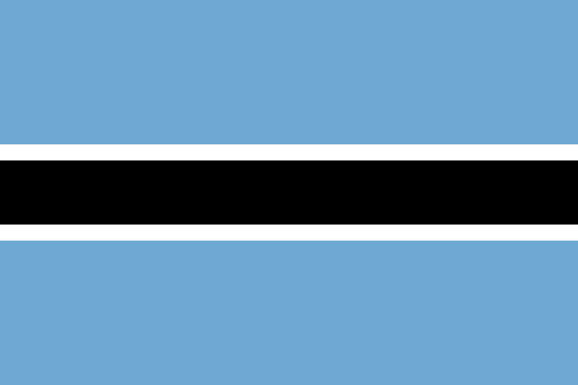
Botswana
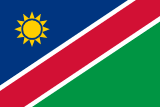
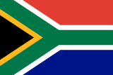
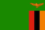
Botswana, officially the Republic of Botswana, is a landlocked country in Southern Africa. Botswana is topographically flat, with approximately 70% of its territory being a part of the Kalahari Desert. It is bordered by South Africa to the south and southeast, Namibia to the west and north, Zambia to the north, and Zimbabwe to the northeast. Its total area is 581,730 square kilometres (224,610 sq mi). Gaborone, in the South-East District, is the country's capital and largest city.
Read Botswana on Wikipedia · Recent news from Botswana
You have not been asked about Botswana yet.
WHAT PEOPLE ARE CALLED
Motswana
These are English demonyms for people from Botswana. A demonym describes a connection to a place; it does not mean everyone shares an ethnicity, language or religion.
Demonym source: mledoze/countries · Download the attributed dataset (ODbL)SAME LAND, DIFFERENT WORLDS
Civilizations, flags & standards
Modern borders are a starting point for exploring the past. These cultures and states occupied some of the same land; they were not the same country. Dates describe each civilization or state as a whole, not continuous rule over every place listed.
A sourced civilization and flag trail has not been added for Botswana yet. No ancient flag is inferred from the modern one.
Explore the history of this land · Browse civilizations & empires
Turning points
A curated timeline is not available yet. Explore the country's history and the historical figures below.
Read the historical overview →Religion: state & society
An official religion is a legal status. The largest religious group is a population measure. Neither describes every person's beliefs.
Official status and a dated affiliation breakdown have not been checked for this country. The atlas's religion tags are not a population ranking.
Choose your next rabbit hole
Where it is
Languages
Share of the population that speaks each. Click one to see every country that speaks it.
What it sells, and to whom
Every line is a thread: click a commodity or a partner to see who else trades in it.
Exports
Trades with
Farms and fisheries
- root vegetables
- beef
- vegetables
- sorghum
- maize
- game meat
Largest cities
| Gaborone capital | 246,325 |
| Francistown | 103,417 |
| Mogoditshane | 88,004 |
| Maun | 85,350 |
| Molepolole | 74,861 |
Money, belief and alliances
Money
Belongs to
Climate and geography
semiarid; warm winters and hot summers
Climate zone
Highest point
Landmarks and landscapes
Landlocked. Southern hemisphere.
Land borders (4)
In charge right now

Figures from its history


Leaders before them

Corrected in an AI-assisted review of the imported data (2026-09-22), not yet checked against a named source: wars.