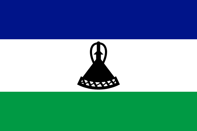
Lesotho
Lesotho, officially the Kingdom of Lesotho, is a landlocked country in Southern Africa. Surrounded by South Africa, it is the largest of the three sovereign enclaves. Lesotho is located in the Maloti Mountains, with the highest peak in southern Africa. It has an area of over 30,000 km2 (11,600 mi2), with a population of about 2.3 million. Its capital and largest city is Maseru.
Read Lesotho on Wikipedia · Recent news from Lesotho
You have not been asked about Lesotho yet.
Where it is
Languages
Share of the population that speaks each. Click one to see every country that speaks it.
What it sells, and to whom
Every line is a thread: click a commodity or a partner to see who else trades in it.
Exports
Trades with
Natural resources
Industries
Farms and fisheries
- milk
- potatoes
- maize
- vegetables
- fruits
- sorghum
Largest cities
| Maseru capital | 359,753 |
| Maputsoe | 61,916 |
| Mohale's Hoek | 46,593 |
| Mafeteng | 45,287 |
| Hlotse | 43,967 |
Money, belief and alliances
Belongs to
Climate and geography
temperate; cool to cold, dry winters; hot, wet summers
Climate zone
Highest point
Landlocked. Southern hemisphere.
Land borders (1)
In charge right now


Figures from its history

